Creating Interfaces tools & maps; visualization process
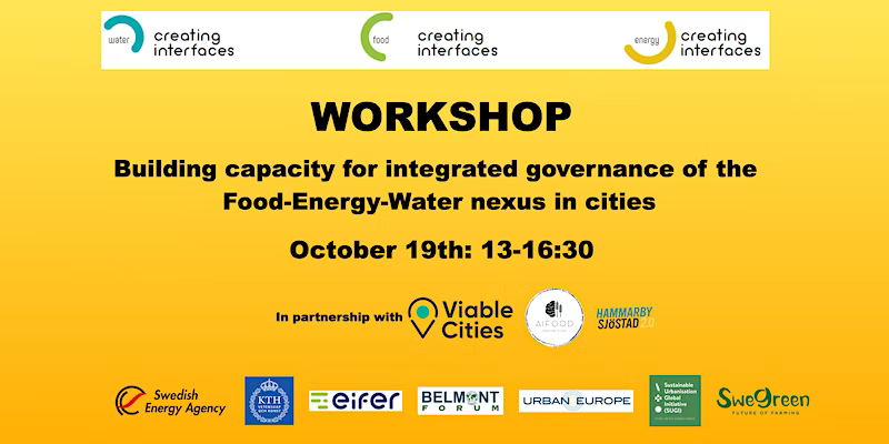
What is the food-water-energy nexus? How could we make linkages understandable to the stakeholders including city government, academia, business community and civil society when it comes to the food-energy-water nexus?
How do we facilitate cooperation and knowledge exchange among the stakeholders? Is there any tools and methods that can complement each other for a more sustainable and resilient community and governance models?
In this workshop, the project team will present approaches, tools and visualizations developed in the project and discuss with you the replicability and usability for your local context. These are namely ‘Story Maps’ which are forms of visualization for the food-water-energy nexus in cities and our citizen science tool for data collection.
We will provide insights into experiences and lessons learned and support the exchange and networking regarding initiatives for local resilience and sustainability governance. Representatives of municipalities, private sector, academia, and local citizens are welcome to participate and share your feedback and experiences or approaches as well. We will also discuss how different tools and methods can complement each other for a more sustainable and resilient community.
Carlos Cámara-Menoyo
Architect. PhD. Lecturer. Life-long Learner. Transdisciplinary.
I love learning, teaching and researching, as well as sharing and visualizing data, specially with maps. I have a technical and social background and my multiple research interests are centered around the commodifications between cities, technology and society within informationalism and free culture paradigm. So far, I have applied that approach on the topic of social and spatial inequities.
João Porto de Albuquerque
Director of the Institute of Global Sustainable Development
Professor Porto de Albuquerque (IGSD, University of Warwick) is a geographer and computer scientist. His research adopts a transdisciplinary approach to digital geographies and geographic information science, intersecting urban data science, information management and development studies. His transdisciplinary research on socio-ecological-technical urban systems not only emphasises cross-border collaboration between the (environmental) sciences, social sciences and humanities; it also goes beyond academic disciplines to engage in co-production and participatory research with non-academic stakeholders.
Greg McInerny
Ass. Professor
Ass. Prof. Greg McInerny (CIM, University of Warwick) research focuses on Data/Information Visualisation, bringing software and sciences into relation with the arts, humanities and social sciences. His research works with ‘visualisation’ in four ways: 1) using visualisation as a research method, 2) visualisation design techniques and tools, 3) critical visualisation Studies, and 4) understanding visualisation in the real world. In combination, these sub topics offer a way into understanding ‘visualisation’ as a subject, as a set of methods and as an object, and through a variety of frames as user, tool designer/developer and critical researcher, and through understanding everyday relationships with visualisation.