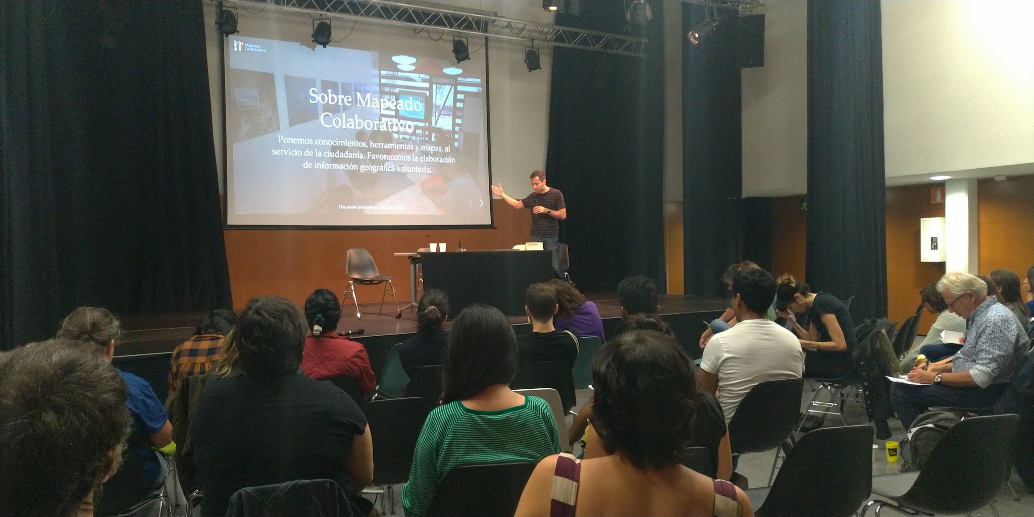
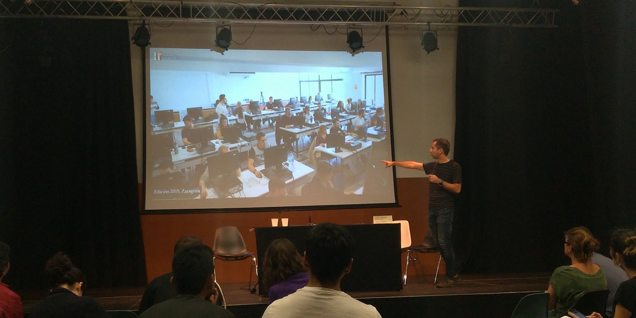
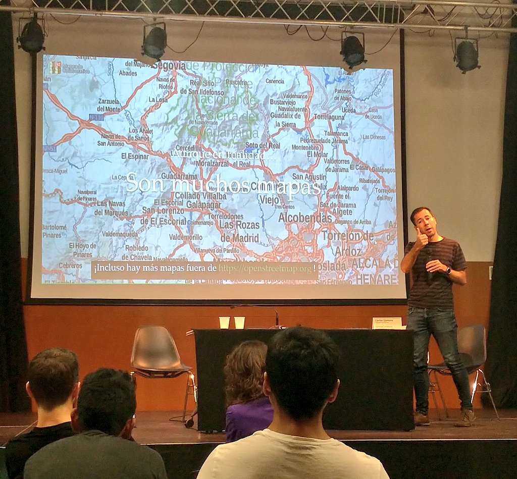
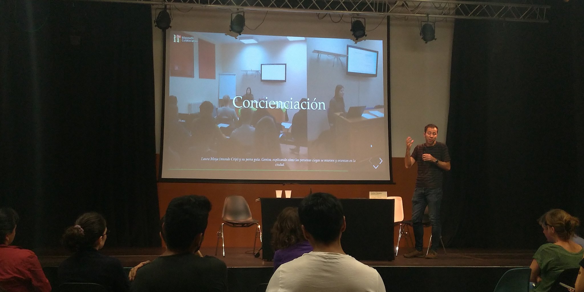
Last October 19th, I was representing Collaborative Mapping, along with 4 other experiences, in the II Jornadas de Cartografías Colaborativas, organized by Raons Públiques, where each one of us explained what we do to drive urban transformation processes through collaborative cartographies. In the session I explained what Collaborative Mapping is and what projects we do (with special emphasis on the Accessible Zaragoza project).
From the Raons Públiques' blog (automated translation):
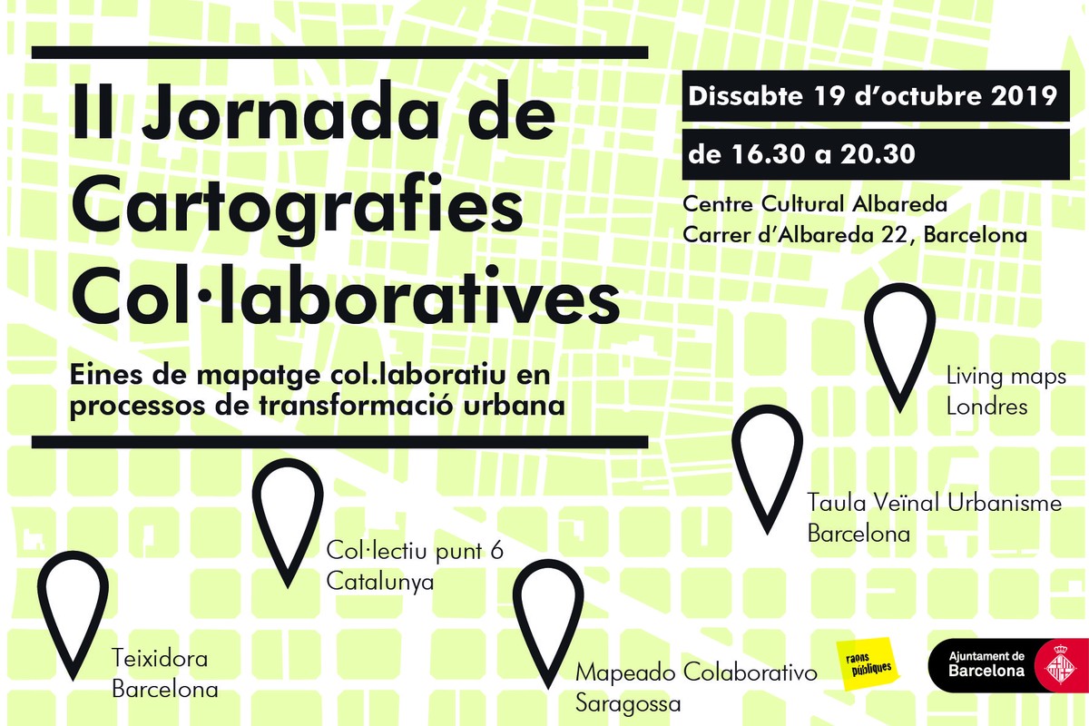
Next October 19 in the Albareda Cultural Center of Poble Sec, we will organize the II Conference of Collaborative Cartographies. In this second day we want to create a meeting space between different specialists, collectives and neighbors of the city to reflect on collaborative cartographies used in processes of urban transformation. In this case, unlike last year where there were experiences more focused on digital tools, we have invited examples with face-to-face methodologies that try to generate change or in communities.
This year we have invited five experiences:
Col-lectiu Punt 6. Col-lectiu Punt 6 is a cooperative specialised in urbanism and architecture from a feminist perspective that uses collaborative mapping as a tool in various processes linked to the transformation of the city from a gender perspective. We have invited them to explain some mapping tools in terms of gender diagnosis.
Teixidora. Teixidora is a participative project to gather knowledge generated in talks and events, share documentation, explore connections, relate debates and activity to each other and map actors (in general in the techno-social field and the themes they intersect), emphasizing ethical and emancipatory perspectives, giving visibility to critical contributions. We have tested various tools and methodologies to document what is done and contextualize it.
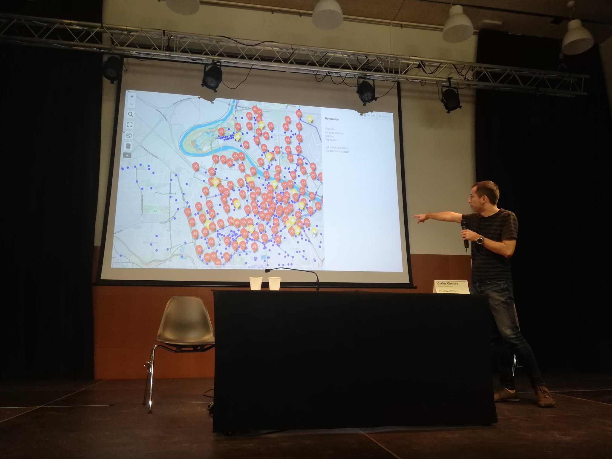
Collaborative Mapping. Collaborative Mapping is defined as a space for the creation of collaborative maps at the service of citizens and as tools for decision making, sharing experiences and shaping the way in which we observe reality. For example, they have carried out a project to improve accessibility in the city of Zaragoza, combining face-to-face observations with online mapping tools.
Mapa Taula Urbanisme Veïnal de Barcelona. The TUVB will take advantage of this conference to present the online mapping tool for neighbourhood claims, which aims to serve as a platform for compiling all those urban conflicts and claims made in the city of Barcelona related to processes of urban transformation.
Living Maps. Living maps is a network of researchers, community activists, artists based in London that aims to promote the use of collaborative maps as tools for social change, encourage reflection and debate, public participation and creative forms of community action. In particular, they will present the Citizen Atlas of London, in which various collaborative mapping techniques were implemented with the aim of gathering the citizen’s vision to complement the drafting of the London 2050 Plan.
The day will be between 16.30 and 20.30 hours. We appreciate that if you are interested in participating in the day please register through the [following form] (https://forms.gle/434pJHSiSYjuJKfw8).
We wait for you!
Carlos Cámara-Menoyo
Architect. PhD. Lecturer. Life-long Learner. Transdisciplinary.
I love learning, teaching and researching, as well as sharing and visualizing data, specially with maps. I have a technical and social background and my multiple research interests are centered around the commodifications between cities, technology and society within informationalism and free culture paradigm. So far, I have applied that approach on the topic of social and spatial inequities.