QGIS.es Website

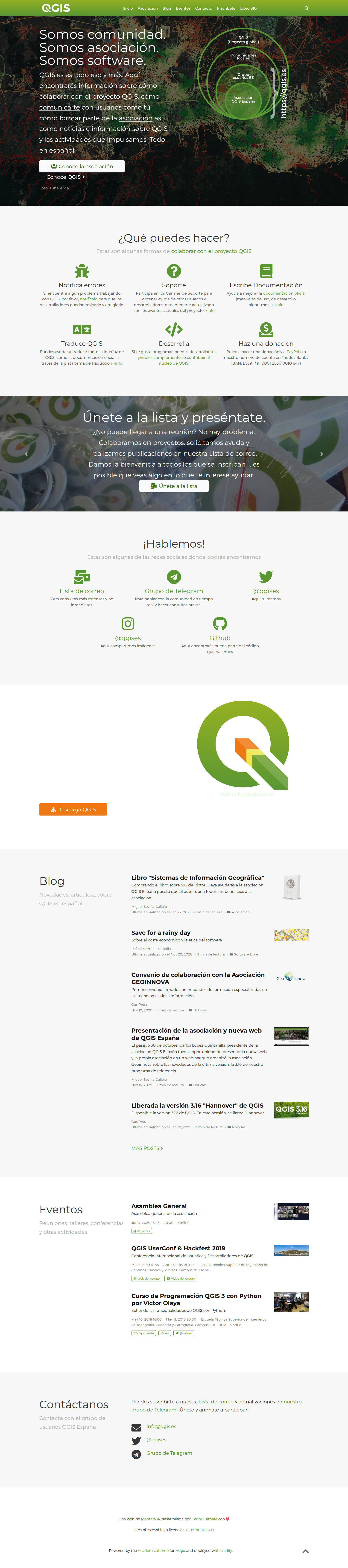
The creation of the new website of the Spanish QGIS Association presented two very different challenges. The first had to do with the content, since it was necessary to explain, on the one hand, QGIS as a project and, on the other what the Spanish QGIS Association is. Regarding the first goal, it was important to explain that QGIS is an Open Source Geographic Information System (probably the most advanced and widely used worldwide), as well as the different ways of collaborating with the project, emphasizing the fact that the website aims to become a meeting place for the international Spanish-speaking community. Regarding the second goal, it was necessary to explain what the Spanish QGIS Association is, what it does and how to become part of it to collaborate in the project.
On a technical level, it was necessary to respond to the need to easily update the contents, with the particularity that a CMS or dynamic websites could not be used in order to minimise costs in servers and time dedicated to updates and maintenance of the infrastructure. They also wanted a solution without lock in in terms of infrastructure, suppliers or technology.
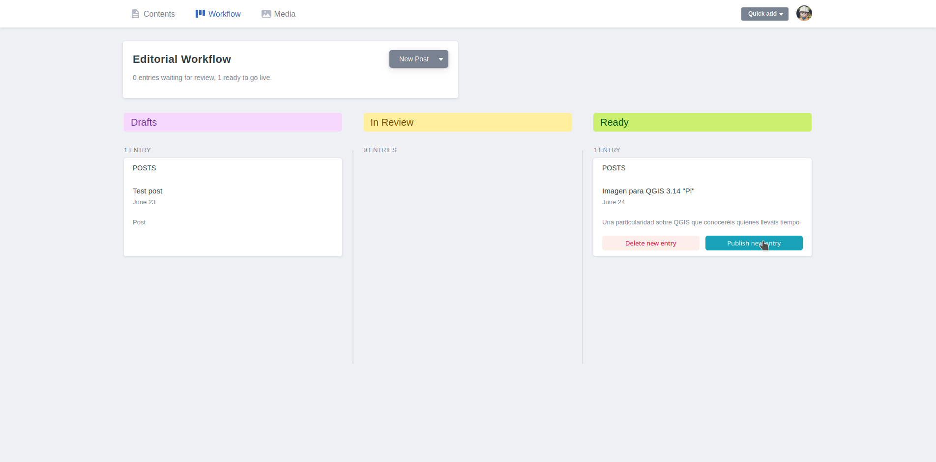
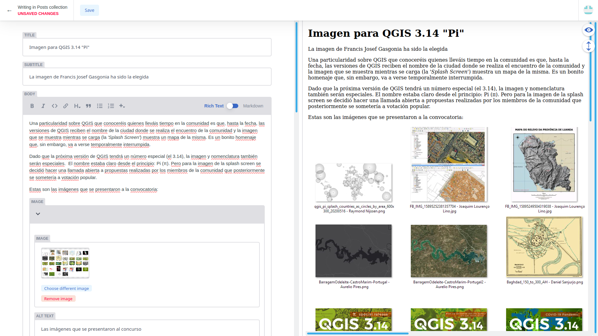
All this led us to create a website with a static Hugo site manager hosted in a github repository and rendered from a continuous integration system. For the publication of content we opted for a workflow based on pull-requests and with a graphic interface through Netlify CMS.
Carlos Cámara-Menoyo
Architect. PhD. Lecturer. Life-long Learner. Transdisciplinary.
I love learning, teaching and researching, as well as sharing and visualizing data, specially with maps. I have a technical and social background and my multiple research interests are centered around the commodifications between cities, technology and society within informationalism and free culture paradigm. So far, I have applied that approach on the topic of social and spatial inequities.