ArchTLAS
 Fragmento de la portada
ArchTLAS is a collaborative on-line atlas of architecture in which everyone can upload a work or a project, with the particularity that any registered user can complement the information at any time, adding photographs, videos, awards, publications… everything in a simple and fast manner. It is also an exercise of trying to understand the Internet as a means of communication and dissemination and the possibilities it offers as opposed to printed media.
ArchTLAS is aimed at professionals (architects, photographers…) and students who want to consult works or projects (either to search for references for competitions, for example) or simply want to make known what they do, acting therefore as a resume of works online. Although the map is very important at the moment, ArchTLAS has more of a Wiki (with an important load of georeferencing) than anything else, and as a web 2.0 project there is freedom to publish any work that has interest, without limit of subject matter, geography … In addition, much emphasis has been placed on making it very easy and obvious to complement and correct the information, as the objective is that the more the web grows (not only in users or content), the more reliable and better its content.
This is an ambitious website that has a series of peculiarities that make it different from the rest of apparently similar websites
APPROACH:
- It is collaborative, anyone can extend the information of a determined work and therefore the tendency will be that the information published in ArchTLAS is updated, complete and truthful (web 2.0). Here the reference is wikipedia.
- It is participatory: all users can comment on and rate the content, which allows the content to be geared to their interests.
CONTENT:
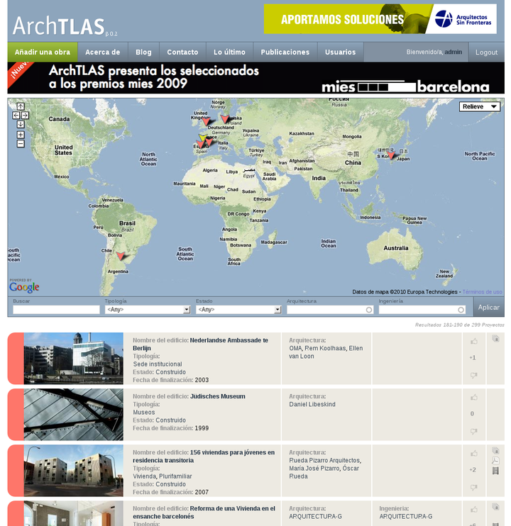
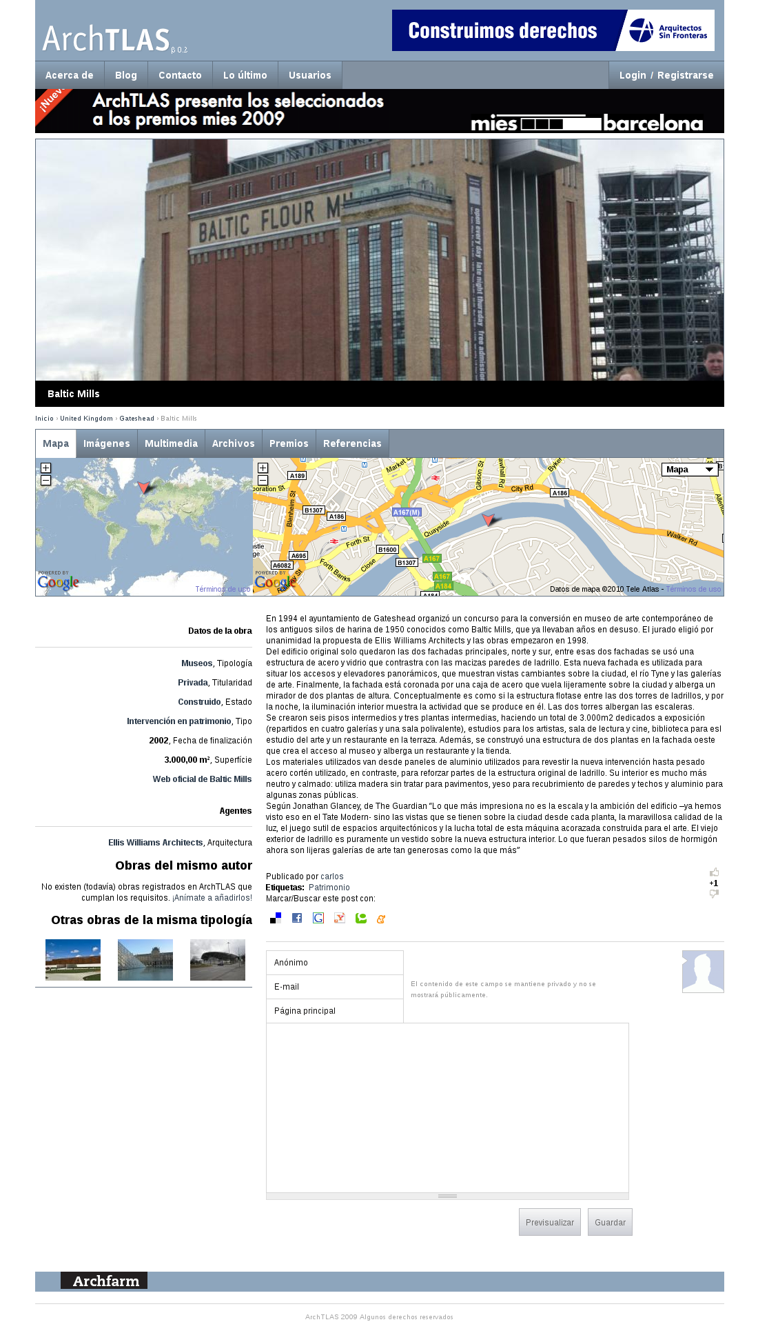
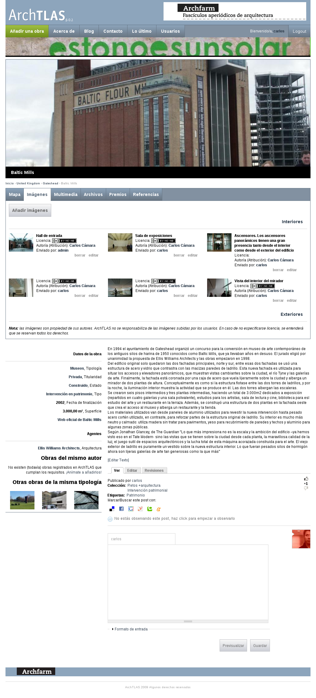
All the works and projects are georeferenced, with all the advantages that this entails: You can graphically search for a building simply by navigating the map; you can make queries of buildings in a particular city or country and develop travel guides (the latter can be done soon); you can know the buildings neighboring or close to a particular work … There is no limitation by date, place or state: You can publish works and projects (whether or not they are going to be built) from any period. The requirement is the interest of the same one. 3. It is multimedia. Publications limit the information published to texts and images. ArchTLAS takes advantage of being a website and does not have these limitations, allowing also to publish files, videos, plans, 3D models … i also to see it in a well classified way. 4. The information is structured: it is not possible to guarantee that all published buildings have the same quantity, quality and type of information, but it is designed so that everything published has a minimum of interesting information of its own (basic file with details of the building and its agents) and it will always be possible, even before seeing the details of a building, to know if it contains additional information such as images, videos, texts, archives… In addition, all the information is presented on a single page perfectly grouped and ordered.


Carlos Cámara-Menoyo
Architect. PhD. Lecturer. Life-long Learner. Transdisciplinary.
I love learning, teaching and researching, as well as sharing and visualizing data, specially with maps. I have a technical and social background and my multiple research interests are centered around the commodifications between cities, technology and society within informationalism and free culture paradigm. So far, I have applied that approach on the topic of social and spatial inequities.